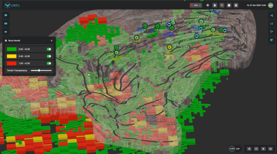
The foundation of any useful mining digital twin is accurate geometric representation of the actual mine site. Without precise topographic data reflecting current conditions, digital twin visualization becomes decorative rather than operationally useful. The quality of survey data determines everything downstream — planning accuracy, volumetric calculations, slope stability analysis, and progress tracking.
Traditional mining survey methods produce this geometric data but face constraints that limit how frequently and comprehensively it can be updated. Ground-based survey teams work slowly across large sites. Aerial photogrammetry from manned aircraft is expensive and requires favorable weather windows. Both methods produce data that’s already dated by the time it enters operational use.
LiDAR drone mapping addresses these constraints through automated aerial data collection that produces high-precision geometric data at frequencies traditional methods cannot match. Companies like Virtu integrate this technology into digital twin platforms built specifically for Indonesian mining contexts. Understanding how the technology works and what it changes for mining operations matters for operators evaluating how to build genuine digital twin capability.
What LiDAR Drone Mapping Actually Does
LiDAR (Light Detection and Ranging) drones combine several technologies to produce detailed 3D representations of physical environments. The drone flies programmed routes across the survey area. LiDAR sensors emit laser pulses and measure return times to calculate distances to surface points. GPS and inertial systems track drone position precisely. Post-processing software combines these data streams into georeferenced 3D point clouds.
For mining operations, this technology produces geometric data with several important characteristics.
Precision reaches centimeter-level accuracy across large areas. Traditional survey methods produce this precision at specific points; LiDAR produces it across entire survey areas as dense point clouds representing whole surfaces.
Coverage extends across large sites in single missions. A drone flight can survey areas that would take ground survey teams days or weeks to cover. Mining operations spanning kilometers can be surveyed in single flight sessions.
Speed enables frequent updates. What traditional survey methods do quarterly or monthly, LiDAR drones can do weekly or even daily as operational needs require. This frequency matters because mining topography changes continuously as excavation progresses.
Vegetation penetration captures ground surface even where trees or vegetation would obscure aerial photography. LiDAR pulses penetrate leaf canopies to measure ground beneath, producing accurate topography even in partially vegetated areas.
What This Changes for Mining Operations
Frequent, precise, comprehensive geometric data changes what mining operations can actually accomplish.
Progress tracking becomes continuous rather than periodic. Excavation progress against plan becomes visible on weekly or daily timescales rather than monthly reports. Deviations from plan get identified while they’re still small enough to correct efficiently.
Volumetric calculations become precise rather than estimated. Stockpile volumes, waste rock volumes, and ore body extraction volumes can be calculated to accuracies traditional methods couldn’t achieve. This precision matters for financial reporting, regulatory compliance, and operational planning.
Slope monitoring becomes proactive. Frequent LiDAR surveys reveal slope movement patterns before they progress to failure. Comparison of surveys across time shows subtle changes that predict stability issues.
Blast planning improves through pre-blast topographic modeling and post-blast fragmentation analysis. Both applications require geometric data at higher frequencies than traditional survey can efficiently provide.
Environmental compliance becomes measurable rather than approximate. Reclamation progress can be documented with actual geometric evidence. Disturbed area calculations become precise rather than estimated. Water management planning uses accurate current topography.
The Digital Twin Foundation
LiDAR drone mapping provides the geometric foundation that mining digital twins build on. Without this foundation, digital twin technology becomes visualization of estimated conditions rather than accurate representation of actual conditions.
The relationship between LiDAR data and digital twin capability compounds over time. Each successive LiDAR survey adds to the historical record. Change detection across surveys reveals patterns that single surveys cannot show. Long-term operational analysis becomes possible when survey data spans months and years of continuous updates.
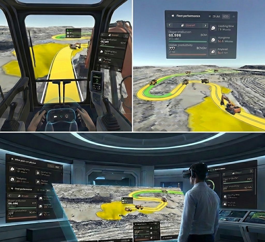
Integration of LiDAR data with other operational data — equipment tracking, production reporting, sensor networks — creates the integrated operational picture that mining digital twins are meant to provide. LiDAR provides the geometric context that other data flows into.
Where Virtu Fits
Virtu incorporates drone LiDAR technology into its Smart Digital Twin Mining platform, providing the geometric foundation for accurate digital representation of Indonesian mining operations. The integration was informed by direct work with major Indonesian coal mining operators, ensuring the technology addresses actual operational requirements rather than theoretical applications.
The Virtu approach combines LiDAR-derived geometric data with real-time operational data flows and interactive visualization tailored specifically for mining decision-makers. For mining operations evaluating how to build accurate digital twin capability, LiDAR drone mapping represents essential foundation technology rather than optional enhancement.